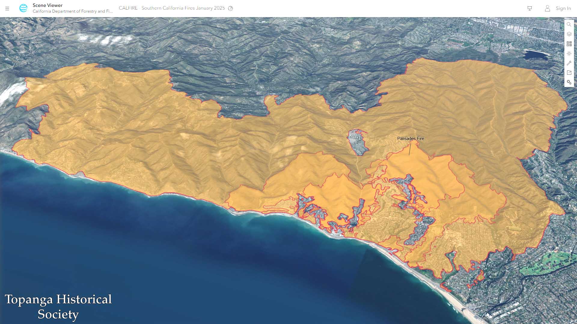
Map of the Palisades Fire perimeter, 2025
Title
Map of the Palisades Fire perimeter, 2025
Description
Topanga Canyon is at the center of this 3D topographical map, which shows the starting point of the Pacific Palisades Fire and the full extent of its perimeter, reaching to Santa Monica, Brentwood, Encino, and Malibu.
Date
2025-01-26
Source
https://calfire-forestry.maps.arcgis.com
Rights
Materials in this collection may be protected by the U.S. Copyright Law (Title 17, U.S.C.). In addition, the reproduction of some materials may be restricted by terms of Topanga Historical Society gift or purchase agreements, donor restrictions, privacy and publicity rights, licensing and trademarks. Transmission or reproduction of materials protected by copyright beyond that allowed by fair use requires the written permission of the copyright owners. Works not in the public domain cannot be commercially exploited without permission of the copyright owner. Responsibility for any use rests exclusively with the user.
Publisher
California Department of Forestry and Fire Protection