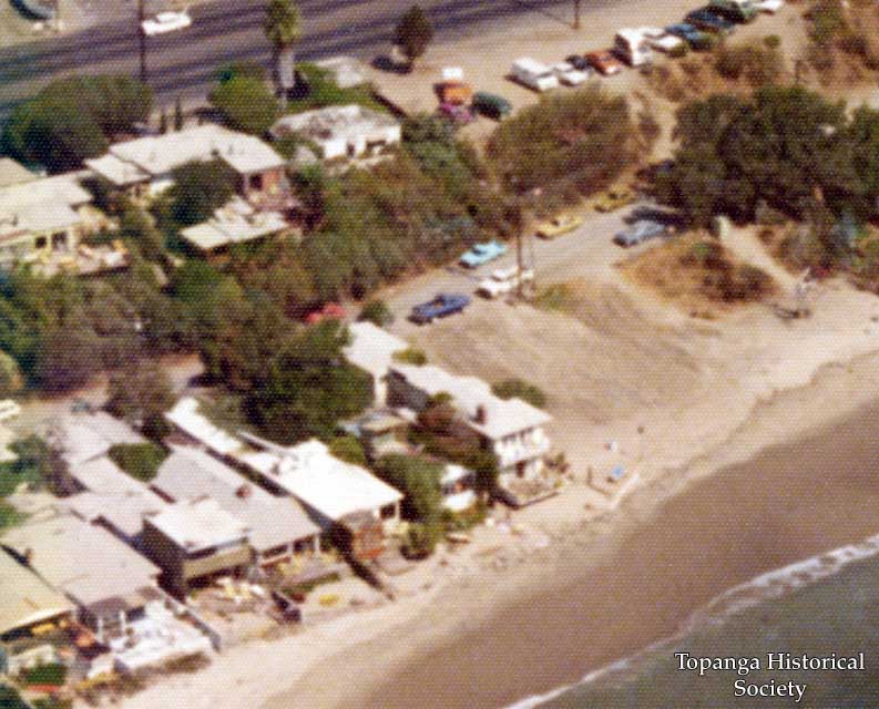
Aerial view of Topanga Beach, circa 1979

Title
Aerial view of Topanga Beach, circa 1979
Description
Aerial view of Topanga Beach, circa 1979. The Raft is at left.
CLOSE-UP 1
The dirt lot was created by a fire and by the demolition of beach houses.
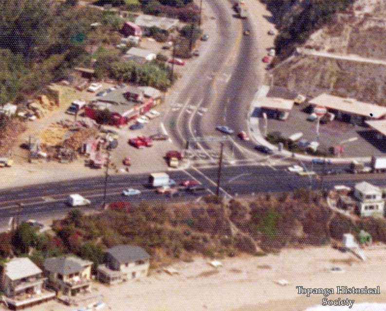
CLOSE-UP 2
The Malibu Feed Bin and Gulf gas station were at the intersection of Topanga Canyon Blvd. and PCH.
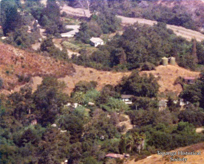
CLOSE-UP 3
A hill with two water towers separated The Rodeo Grounds and Topanga Lane.
CLOSE-UP 1
The dirt lot was created by a fire and by the demolition of beach houses.
CLOSE-UP 2
The Malibu Feed Bin and Gulf gas station were at the intersection of Topanga Canyon Blvd. and PCH.
CLOSE-UP 3
A hill with two water towers separated The Rodeo Grounds and Topanga Lane.
Date
circa 1979
Source
PF 8.4
Rights
Materials in this collection may be protected by the U.S. Copyright Law (Title 17, U.S.C.). In addition, the reproduction of some materials may be restricted by terms of Topanga Historical Society gift or purchase agreements, donor restrictions, privacy and publicity rights, licensing and trademarks. Transmission or reproduction of materials protected by copyright beyond that allowed by fair use requires the written permission of the copyright owners. Works not in the public domain cannot be commercially exploited without permission of the copyright owner. Responsibility for any use rests exclusively with the user.
Creator
Edward Moore
Contributor
John Sherwood