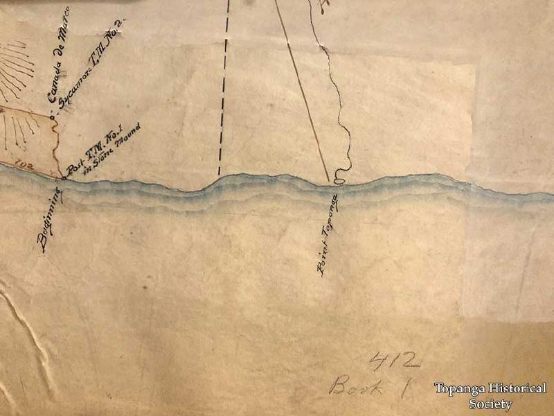
First map of Rancho Topanga-Malibu-Sequit, 1870
Title
First map of Rancho Topanga-Malibu-Sequit, 1870
Description
This is a close-up of the first official US map of what came to be known as Rancho Topanga-Malibu-Sequit, a land patent granted to Matthew Keller.
Date
1870
Source
Malibu Adamson House Foundation
Rights
Materials in this collection may be protected by the U.S. Copyright Law (Title 17, U.S.C.). In addition, the reproduction of some materials may be restricted by terms of Topanga Historical Society gift or purchase agreements, donor restrictions, privacy and publicity rights, licensing and trademarks. Transmission or reproduction of materials protected by copyright beyond that allowed by fair use requires the written permission of the copyright owners. Works not in the public domain cannot be commercially exploited without permission of the copyright owner. Responsibility for any use rests exclusively with the user.
Contributor
Todd Davidovich
